Introduction
Land cover is one of the critical terrestrial variables for monitoring and modeling urbanization, environmental changes, and carbon emissions(due to deforestation and forest degradation). Furthermore, changes in land cover are essential because they impact the earth’s ecological and biogeochemical processes. Globally, researchers and policy-makers use land cover information for scientific research, policy, planning, environmental and climate change management. Countries currently use land cover and land cover change information to implement Sustainable Development Goal (SDG) indicators such as land consumption rate and the proportion of degraded land.
The Need for Rigorous Map Validation
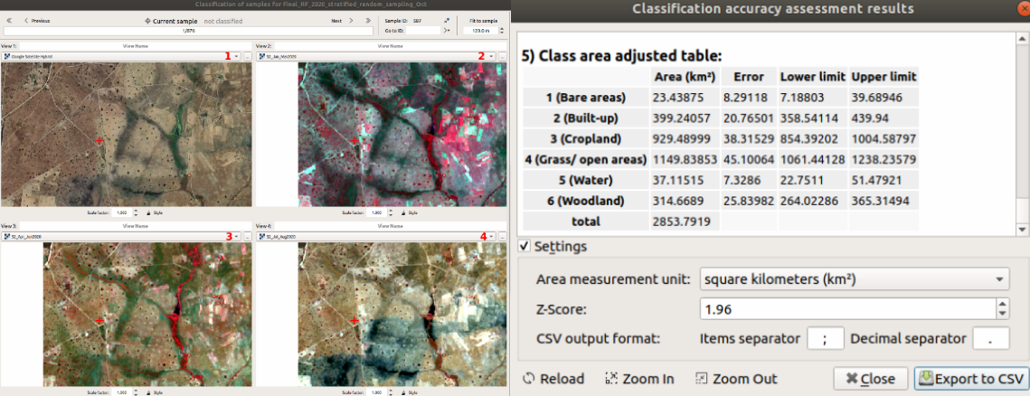
Recent advances in EO data acquisition (Landsat and Sentinel) and machine learning capabilities have led to a proliferation of more land cover map products at local, national, regional, and global scales. While the increased availability of map products is good, most land cover maps are imperfect. For example, land cover area estimates may be biased due to classification errors. The inaccurate area estimates limit the land cover maps’ scientific and real-world utility. However, remote sensing researchers and analysts should note that classification errors can be minimized subject to rigorous map validation. Unfortunately, rigorous map validation is often not regarded as a top priority. Nonetheless, robust map validation is required to communicate the land cover map quality.
Good Practice Guidelines
Rigorous map validation entails that a land cover map is compared with higher quality reference data, which has been collected through a sample-based approach. Recently, remote sensing researchers designed good practice guidelines to improve land cover map validation (Olofsson et al. 2014). The good practice guidelines recommend the adoption of a robust map validation to improve the credibility of land cover maps. The good practice guidelines also encourage area estimation based on the reference classification and analysis of the confusion (error) matrix information.
I published a book on “Optical and SAR Remote Sensing of Urban Areas: A Practical Guide.” This book has a chapter on “Land Cover Classification Accuracy Assessment,” focusing on good practice guidelines.
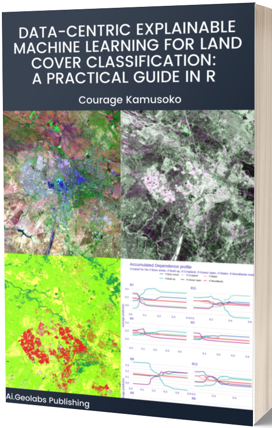
Check out My New Book!!
I have a new book on ‘Data-centric Explainable Machine Learning for Land Cover Classification: A Practical Guide in R .’ The ebook is now available for download. Please order the book at Ai.Geolabs.