Introduction
Several years ago, I participated in forest conservation projects where land cover mapping and modeling were required. My task was to model land cover changes and determine business-as-usual reference scenarios for Reducing Emissions from Deforestation and Forest Degradation. I soon realized that the models I was using were not optimal for several reasons. For example, there was a lack of reliable training data for the land cover classification tasks. In addition, the land cover classification procedures were based on unsupervised and manual interpretation, which was unreliable. As a result, the land cover modeling results were poor since the models failed to capture the complexities of the study areas.
To overcome these limitations, I started to explore machine learning in R and python. Although there was an initial steep learning curve, I learned how to implement machine learning models in R and python. I also bought books and took online courses. Once I mastered R and a bit of python, I began to explore different machine learning models for land cover classification and modeling.
Why Continuous and Lifelong Learning Matters?
Machine learning is driving many geospatial data analyses. Its robust pattern finding and prediction algorithms are helping researchers analyze tonnes of big geospatial data to solve critical global climate and environmental issues. Yet, machine-learning algorithms are riddled with many pitfalls characterized by false positives and uncertainties. In general, most machine learning algorithms are so complicated that it is pretty difficult or impossible to check the model parameters or understand how the inputs have been processed. Therefore, researchers need a solid understanding of the theoretical underpinnings of machine learning algorithms and real-world geography to develop robust models.
During the past decades, the geospatial sector has grown substantially. There are new and emerging opportunities in the geospatial industry, mainly processing big geospatial data using machine learning or deep learning methods. Therefore, recent graduates and professionals need to upgrade their geospatial competencies through continuous and lifelong learning. Investing in oneself in this way helps to improve personal skills and knowledge.
Next Steps
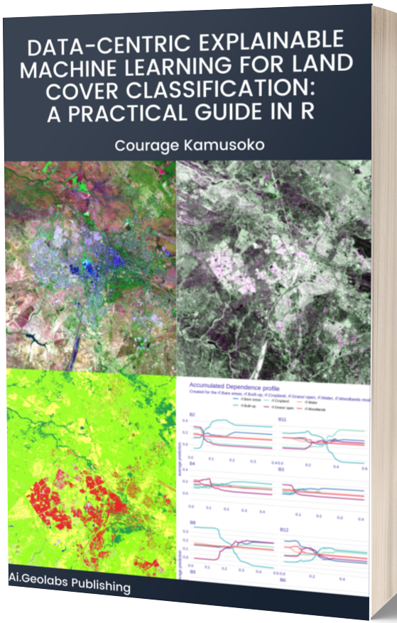
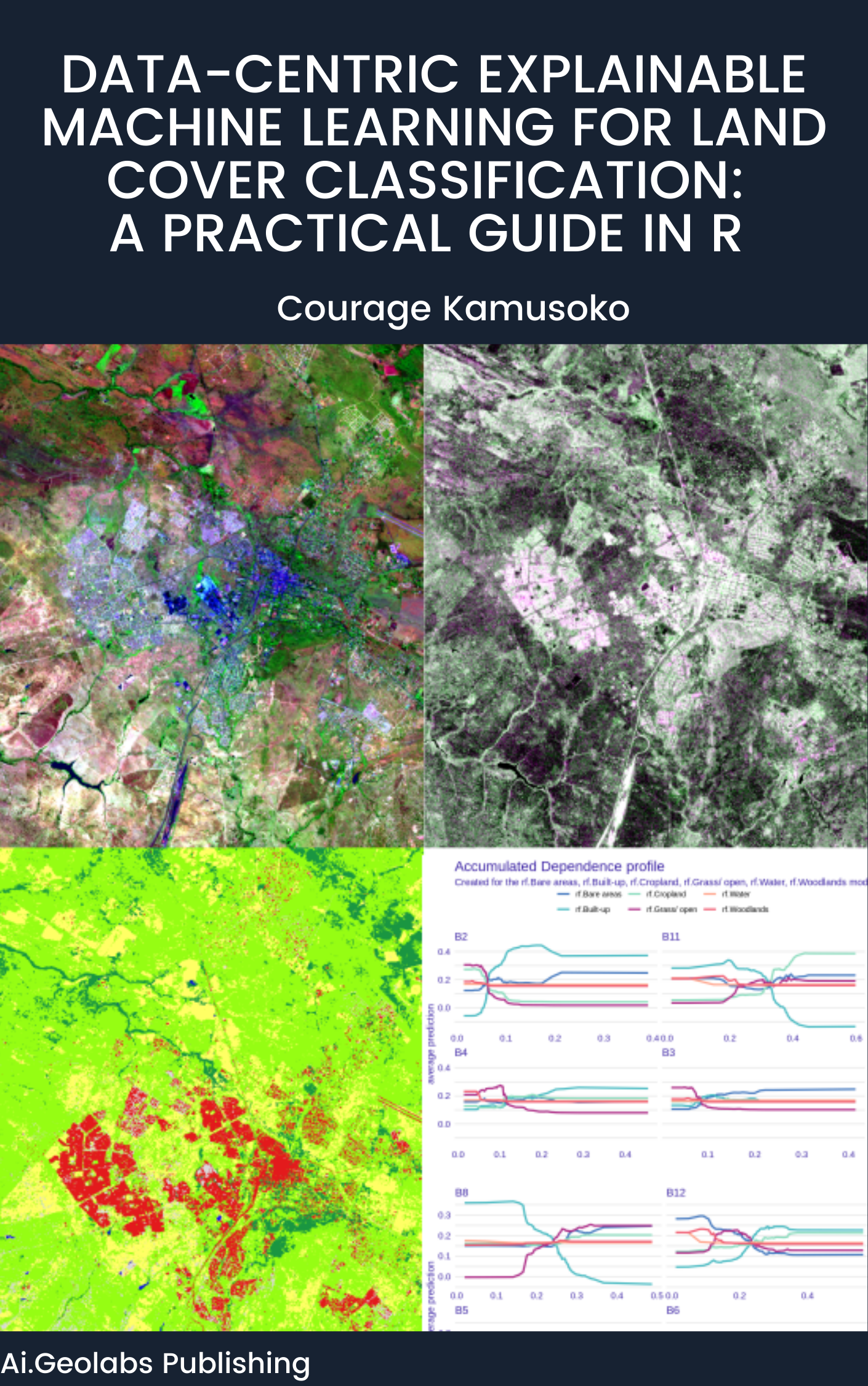
At AI.Geolabs has self-paced and instructor-led learning programs to enhance your skills and expertise. We are also publishing books and guidelines on cutting-edge geospatial applications. I have a new book on ‘Data-centric Explainable Machine Learning for Land Cover Classification: A Practical Guide in R .’If you want to learn more about the book, please check the information at:
Data-centric Explainable Machine Learning


