Why do you need this book?
Land cover classification remains challenging due to satellite sensor calibration issues, lack of quality training data, spatial heterogeneity, spectral confusion, to name but a few. Remote sensing researchers and analysts have successfully used supervised machine learning models for land cover classification. However, machine learning models do not clearly explain how and why they make predictions. Hence there is a need to gain insights or understand how machine learning models make predictive decisions. The insights will also make machine learning models more trustworthy and reliable.
Supervised machine learning algorithms require quality training data to perform land cover classification. In general, quality training data influences the effectiveness of supervised machine learning models and the accuracy of land cover maps. While training data preparation is time-consuming and expensive, remote sensing analysts and researchers should prepare quality training data rather than focus only on refining and tuning machine learning algorithms.
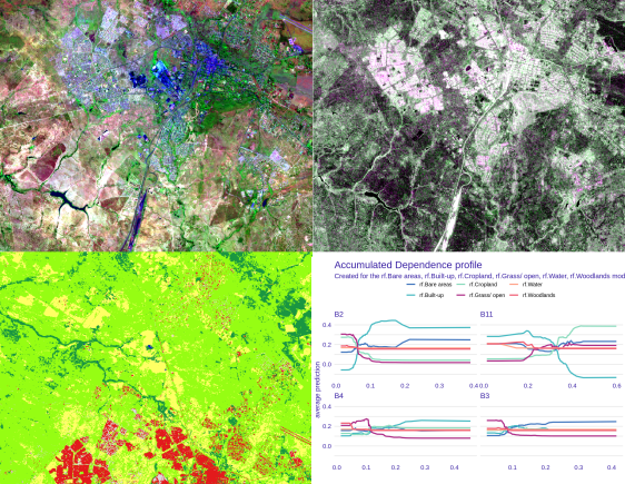
This book will improve land cover mapping using quality training data and seasonal optical and synthetic-aperture radar (SAR) data. The book will introduce concepts and techniques to start data-centric explainable machine learning for land cover classification.
What comes in this book?
With this book, you will learn to:
- import satellite imagery and training sample points in R;
- prepare training data;
- perform exploratory data analysis;
- tune and train machine learning models;
- explore strategies to minimize class imbalance;
- perform explainable machine learning using the iml, DALEX, and iBreakdown packages; and
- perform data-centric explainable machine learning
Table of contents
Chapter 1. Introduction
Chapter 2. Explainable machine learning using the iml package
Chapter 3. Explainable machine learning using the DALEX package
Chapter 4. Exploring data-balancing strategies for land cover classification
Chapter 5. Towards data-centric explainable machine learning for land cover classification
Chapter 6. Concluding remarks
Appendix. Useful resources and websites
Who should use this book?
This book does not introduce remote sensing image classification, R programming, or machine learning concepts. To learn more from this book, you must have some foundational knowledge and experience with remote sensing, R, and machine learning. The guide aims to introduce data-centric explainable machine learning for land cover classification. I hope you will go through all modules and understand how to improve the land cover classification.
Some of the potential readers of this book include:
- remote sensing professionals who already use machine learning for land cover classification but need to gain more insights from their models;
- remote sensing researchers and analysts, and data scientists who want an introduction into data-centric explainable machine learning tools and techniques; and
- graduate students who wish to improve land cover classification using data-centric explainable machine learning tools and techniques.
Next Steps
If you want to learn more about the book, please check the information at:
Data-centric Explainable Machine Learning
Availability
- Ebook version: Available from 10 January 2022
- Print version: Available on demand
Subscribe to AI.Geolabs course membership program to keep up to date on this book and other upcoming books.